WALKER TO BURGESS TO GINOCHIO
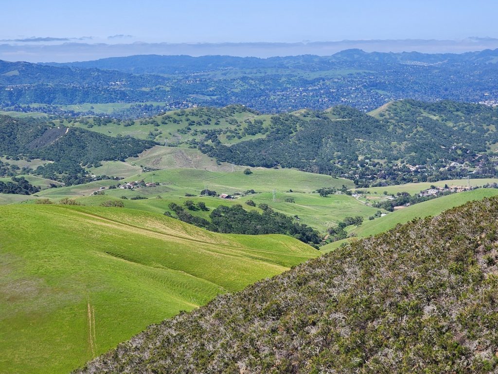
Walker Family History along Northgate Road
The history of Contra Costa County discussing early settlers in Rancho Arroyo De Las Nueces Y Bolbones (Walnut Creek) states:
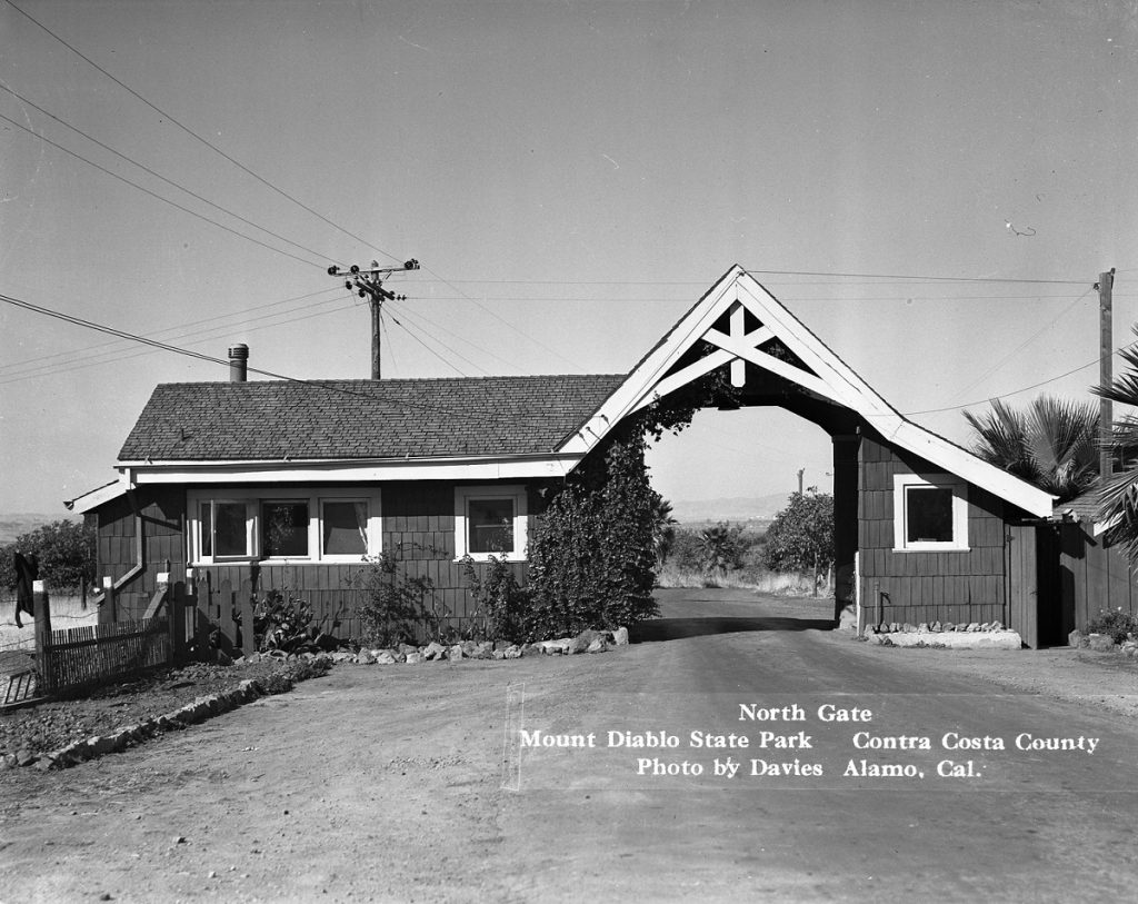
One of the early American settlers on this rancho was James T. Walker, who acquired some 1,400 acres in the 1980s and in 1868 built a home that is still standing as a private residence on North Gate Road between Walnut Creek and Mount Diablo State Park.
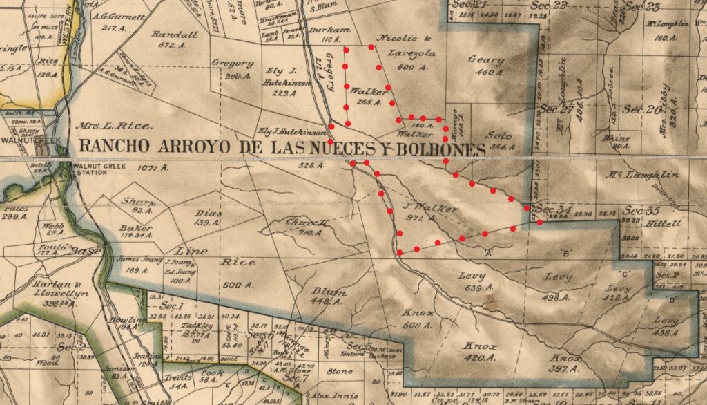
This was prime property including parts of the original 1874 stage road as well as much of Pine Canyon itself.
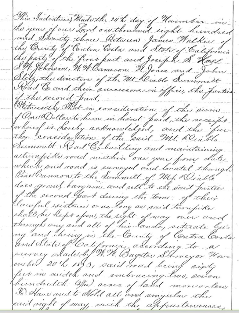
Here is a snip from the original 1873 deed reference for easement rights on the James walker property and deeded to the Mt. Diablo Summit Road Company.
A retelling of an early survey party on Diablo as recounted in an Oakland Tribune article in 1928 states “Take a river boat to Martinez and remain overnight. On the day following, drive to the Walker house at the base of Pine Canyon trail which leads up the mountain from Ygnacio Valley”
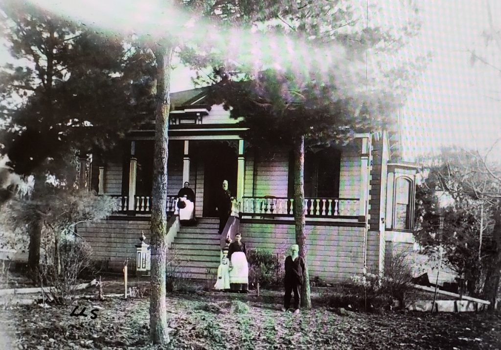
This picture is from the Contra Costa Historical Society and is dated 1891 and labelled “The James Twomey Walker house built and occupied in 1874 by Mr. & Mrs. Walker, their children John Monroe, Barbara Louise, and Josephine Elizabeth and Captain Joseph. (pictured) Captain Joseph was James T. Walker’s uncle who came to live with the family in 1867. He is famously referred to as a trapper, trail maker and guide and Walker’s Pass through the Owens River Valley is named after him for his discovery of and use of this route leading pioneers into California.
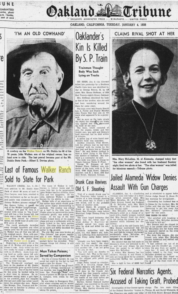
While most of the Walker land was sold over the years, the last large piece was sold to the State Park in 1938-40. The family still retains around 12 acres including much of the original family home at the base of Walker Canyon on North Gate Road.
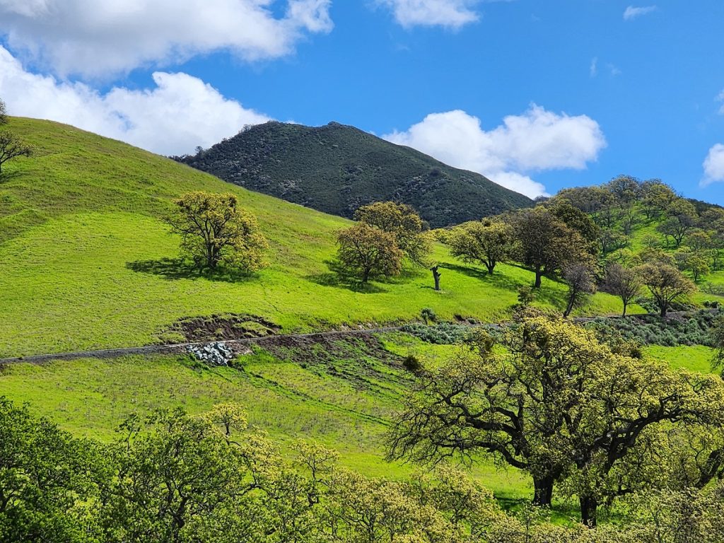
Pine Canyon and Castle Rock Park
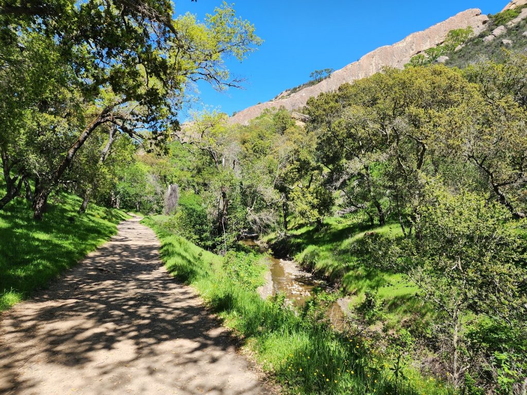
Today Pine Canyon and Castle Rock Park are important East Bay Regional Park District properties and between the Park District and the State Park, these lands were purchased starting mainly in the mid 1970s and into the later 1980s. This is/was another example of the State Park and the EBRPD teaming up for common goals related to connectivity of Parklands and Public benefit.
Ginochio Lands
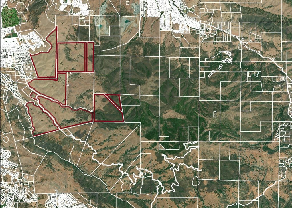
Today the Ginochio family owns the largest private ranch in the area and it spans a large part of Northgate Road. The family began acquiring these lands in the early 1900s for their cattle operation. Park visitors need to recognize that while they technically enter the Park at the Northgate Road Park Kiosk, the land on both sides of the road for a good distance is still private. Only the road down that far is State owned. The Ginochios have been local ranchers for over 100 years and have proven to be great neighbors to the park.
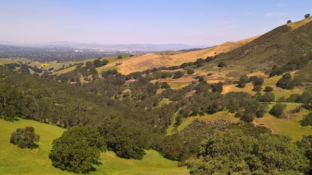
But did you know that back in the 1960s the County was seriously considering Eminent Domain for some of their land? It seems that Walnut Creek was prone to flooding in high water years and the two dams along Pine Creek and Canyon were not adequate for flood control.
The County figured it might create an enormous basin, essentially a large lake that could have dual purpose, recreation and Flood Control. Since this was before the local land conservation and advocacy groups like Save Mount Diablo, the Ginochios were the point family to fight this overreach on the part of the County. The County and EBRPD were planning to take their land.
The Oakland Tribune, commenting on Council action states in a column on July 10, 1974:
In other matters, the council stressed its desire to block residential development near the proposed Arroyo del Cerro recreation project planned midway up Mount Diablo and agreed with a staff recommendation that the city no longer can afford to maintain a street tree program for residential neighborhoods.
The 150-acre recreation area to include two lakes totaling 25 acres would be built by the East Bay Regional Park District in conjunction with the Contra Costa Flood Control District in the vicinity of Northgate Road.
The project, 10 years in preparation, probably will cost double the 1972 estimate of $900,000 if built in 1978, a park district official said. (Articles included in link below)
As it turned out, the Flood Control Basin was built, the Lakes project was abandoned, and the Ginochios got to keep their land.
R. N. Burgess and his 1912 Development Activities
We all know the Burgess name as it is so important to the early days of Diablo. But did you know that well before he filed for the Mount Diablo Estate Park Subdivision First Unit in 1916, he had plans for much of the Walnut Creek and Concord areas as well.
In 1912 he filed
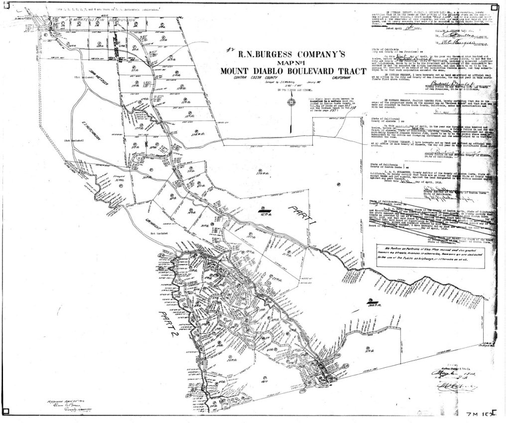
Think of this as spanning much of North Gate Road and into Walnut Creek.
Then in a short span of years Burgess filed the following partial list of subdivisions in the greater Walnut Creek and Concord area.
7M154 Burgess Pringle
7M155 Burgess Parkside and Racetrack
7M164 Burgess Walnut Park
7M170 Burgess Ayers Ranch
7M171 Burgess Ayers Ranch 2
7M172 Burgess Macdonough
7M 174 Burgess Norris Addition to Walnut Heights
8M 181 Burgess Del Hambre Terrace
8M 189 Burgess Matheson
9M 206 Burgess Olsen Subdivision
10M235 Burgess Railroad Addition
This is just a partial list of Burgess subdivisions in the Walnut creek area. He was a big-time developer and sure had money to spread around for a number of years before his downfall.
Open Space Connectivity
While this website is about Mount Diablo State Park we benefit greatly from coordination between State Parks, EBRPD and Walnut Creek Open Space as many of these lands are linked by common boundaries. Much effort has been made to link properties, but more can always be done. Easement connectivity is complicated and often costly but for public trail users, better connectivity leads to greater enjoyment and use of our amazing open spaces.