TODAY’S DIABLO PARK ACCESS
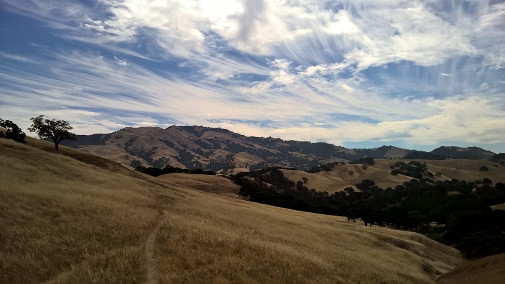
In 1975, the Diablo Lakes development and residential lot splits were creeping down towards the original Lot 255, the end of the original 1916 Diablo parcels. The open space community was up in arms, petitioning the developers and the County to protect access to Dan Cook Canyon and the State Park roads and trails. The Diablo Lake had been forever altered, the dam lowered or removed. All that was left was a small private lake shared by a couple houses and unavailable to the public. The first 1/2 mile of original Stage Road was gone, replaced by a steep 20% grade paved road instead. The area was forever changed.
Now in 1979 the final lot split (the two lots shown in blue and yellow below) would alter what was left of connectivity between Alameda Diablo and Mt. Diablo Scenic Blvd. Luckily, the County, the Diablo Community Service District, and the equestrian and cycling and hiking community insured that connectivity would be protected.
They did this in three ways, the creation of Kay’s Trail for horses and hikers between 1975 and 1982, the creation of the 25-foot-wide riding and hiking easement mainly for cyclists and hikers in 1979, and the negotiating and recording of the Green Valley Trail easements in 1986. These are shown with red dots on the topo graphic below:
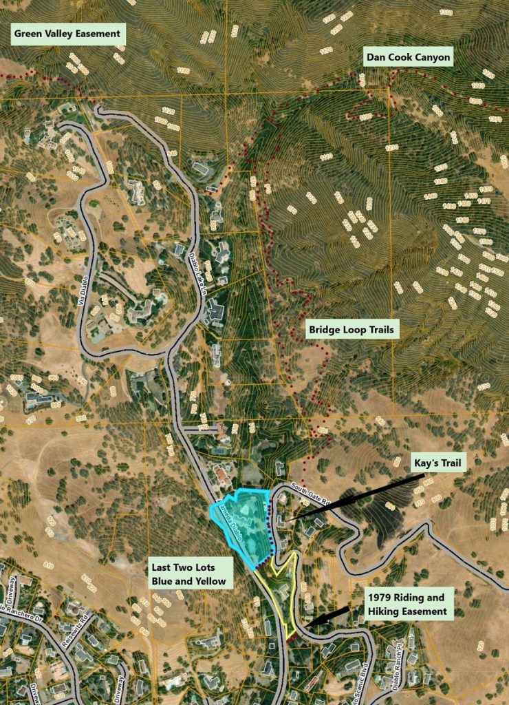
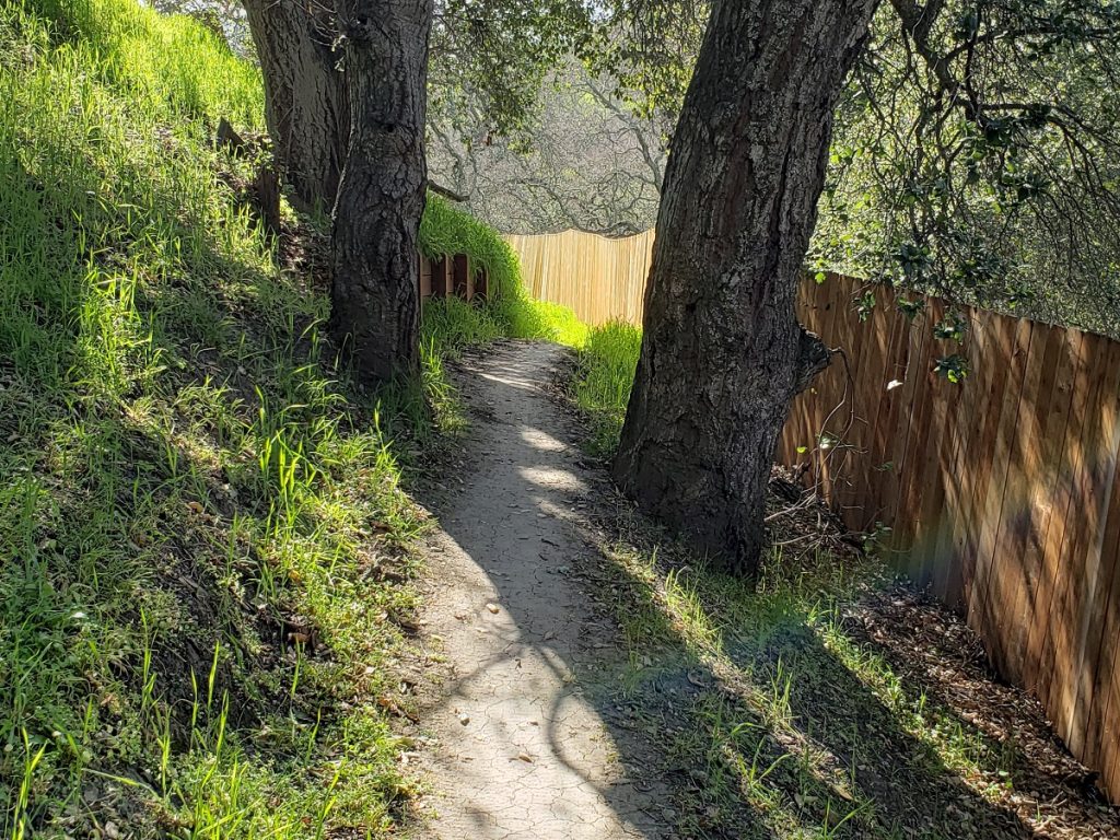
Kay’s Trail, what a strange trip it has been.
In 1975, Kay’s Trail was created as a lease agreement between the DCSD and the original owners of the large undivided property on which the trail was intended to be placed:
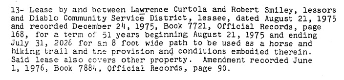
The language clearly states a horse and hiking trail and 8 foot wide.
The only problem was that the Park District had other ideas and was unsatisfied with this solution.
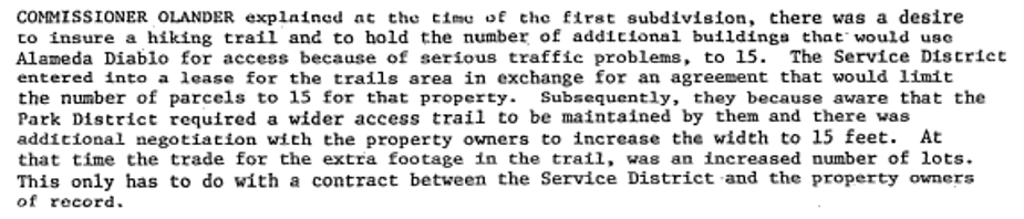
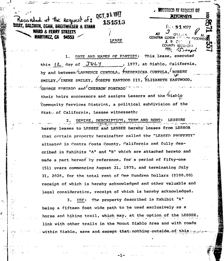
So the developers revised the lease agreement in 1977 to reflect a 15-foot-wide trail.
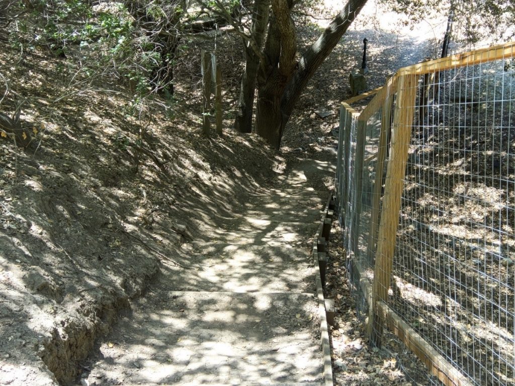
The Park District was not mollified, a steep limited user trail was unacceptable. A different solution was required.
The 1975 and 1977 lease agreement solution became unviable anyway in 1979. The final lot split, creating 2354 and 2358 Alameda Diablo was approved in 1979 and this Kay’s Trail bisected part of these two final parcels. After 50 years either parcel owner could choose not to renew the lease and the trail could disappear. So, in 1982 as the final parcel of these two lots was being sold, the Diablo Community Service District stepped in and accepted the 8-foot-wide trail as an easement holder.
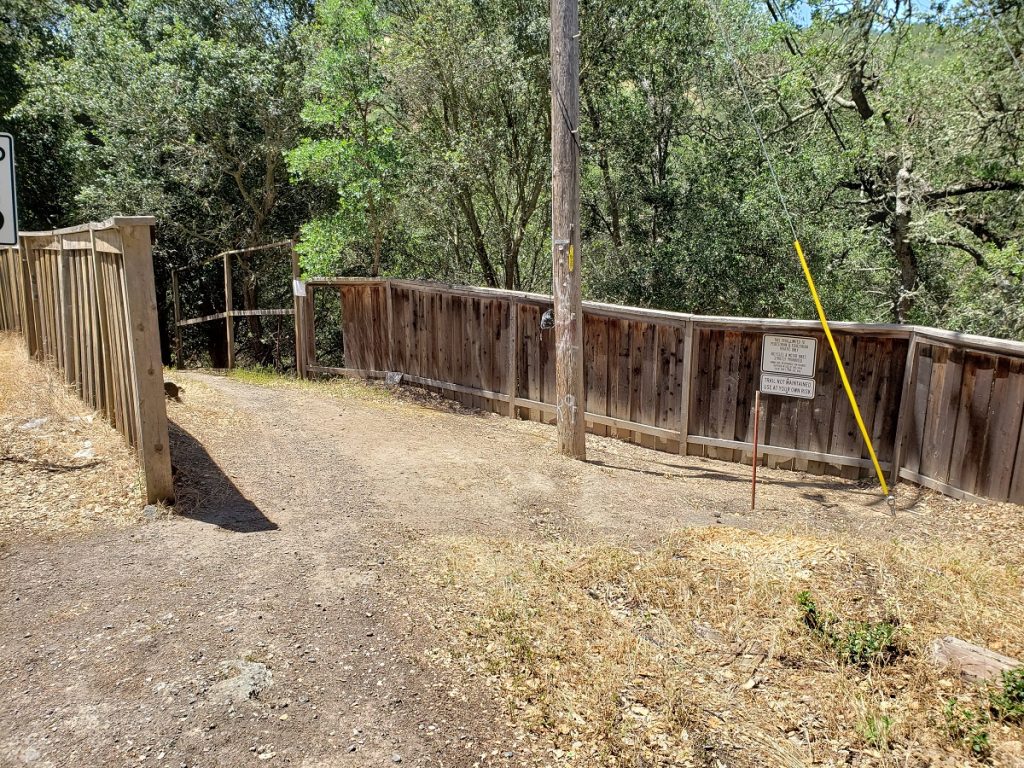
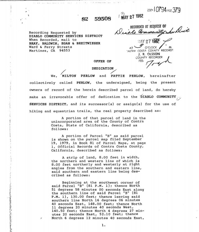
This trail is a protected connection between Alameda Diablo and Mt. Diablo Scenic Blvd. for horses and hikers. While it is narrow, steep and unattractively close to adjacent fences, it is a connection.
What About Cyclists?
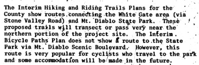
So what about cyclists? In the original 1975 EIR for the Diablo Lakes developments, the county has this to say regarding the next two easements and about cyclists in particular, some accommodation will be made in the future:
In the final lot split in 1979 the County specifically addressed the need for a proper connection between Alameda Diablo and Mt. Diablo Scenic Blvd. for all users by requiring the creation of a public 25-foot-wide riding and hiking trail on the Southern 25 feet of the last parcel.
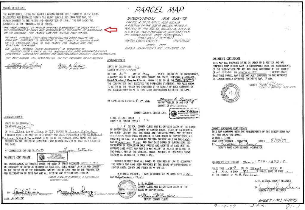
This occured in 1979 and the actual map clearly locates the easement:
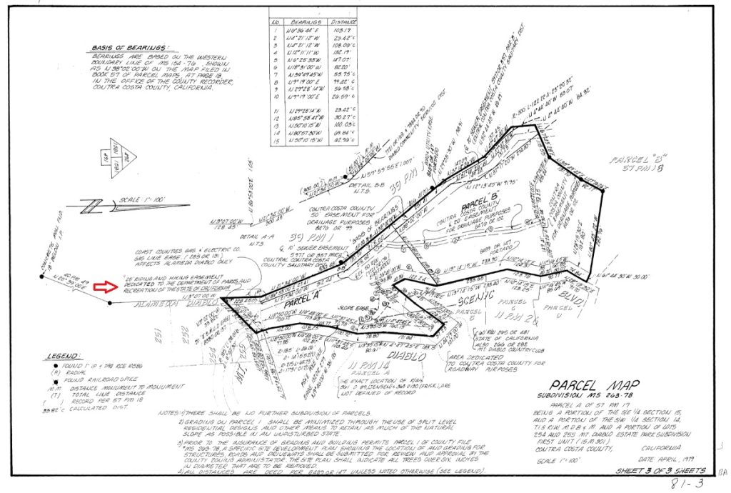
This easement directly crosses these two streets at exactly the same location as the centerline of the original 1916 Mt. Diablo Scenic Blvd. Toll Road. That original roadway easement was 60 feet wide so technically this new 25-foot-wide easement is the Southernmost 25 feet of what had been the upper 30-foot part of the original 1915-16 roadway. The County thoughtfully placed this easement fully on one parcel and retained the same centerline of the original roadway as the parcel line divider. They protected the public’s right to access the State Park by crossing between these two roads.
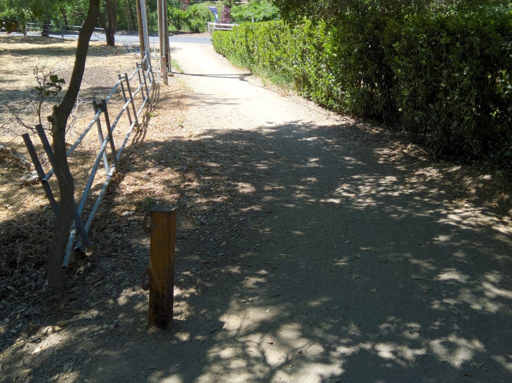
This easement location has always been open to the public (since 1916) and since the 1960s has been the preferred way for cyclists to access the State Park. While only around 8-10 feet wide, it has been graveled and is looked after by the local cycling community. It is also actively used by hikers, dog walkers, and Athenian students.
Green Valley Easement
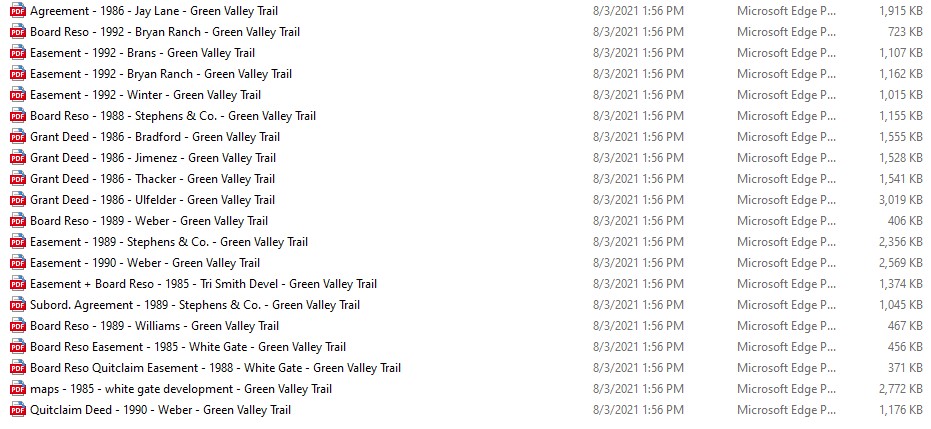
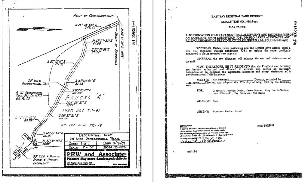
The East Bay Regional Park District and the State Park work together on many trails and easements and the Green Valley Trail easement is one example. The Park District has long term goals of connecting various parks and open spaces. The goal of connecting the Macedo Ranch Staging area and Diablo Foothills Regional Park to Dan Cook Canyon as the Southern route to the Summit was such a goal. It required significant effort (more than 10 different easement agreements) to make this link. It also took time since many of the parcels that this trail crosses were not part of either Park District until the mid to late 1980s.
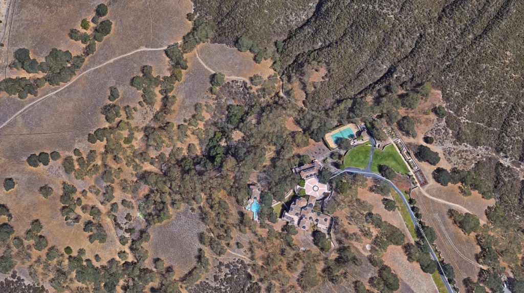
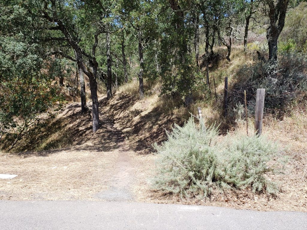
Getting to this easement and recognizing it are a bit of a challenge. At the bulb of Diablo Lakes Lane there is a trailhead marker showing the Green Valley Trail.
After climbing a couple hundred yards you get to this spot that turned me around the first time I encountered it. An imposing private gate and confusing signage.
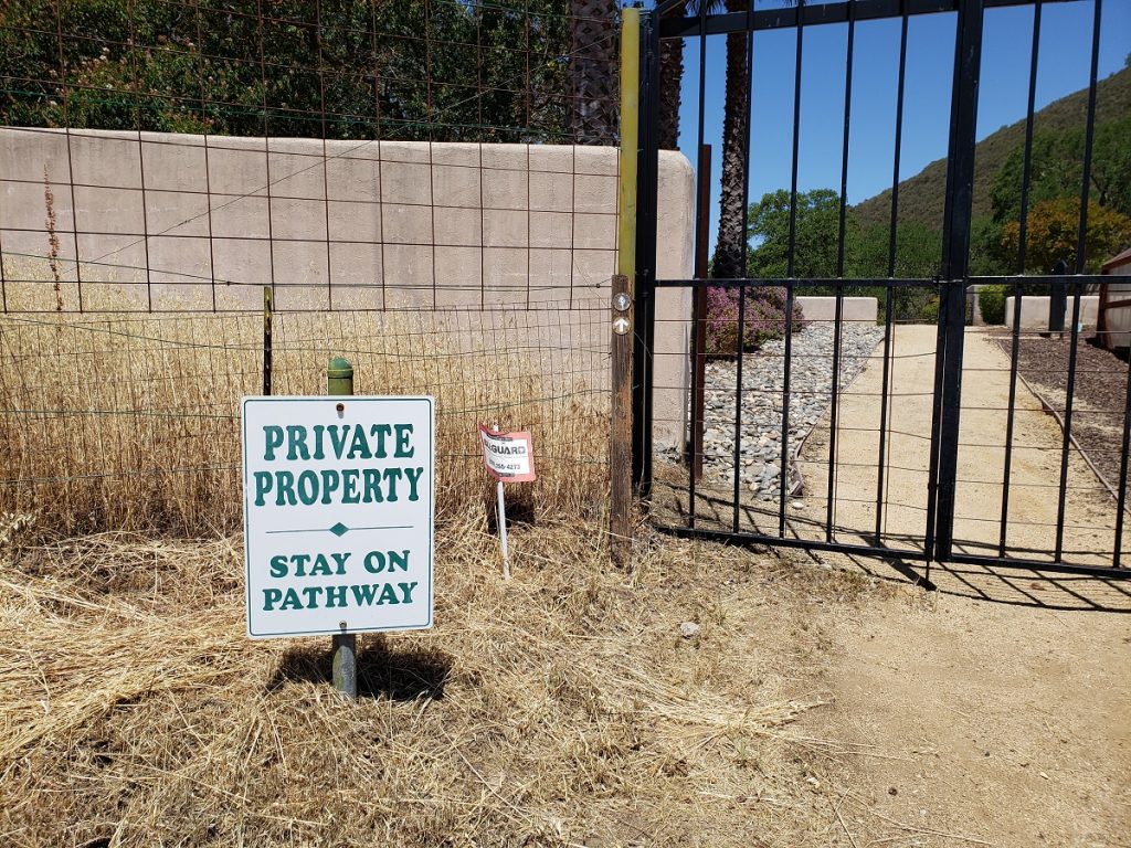
The trail actually crosses this private property as part of the easement structure put into place to create this linkage. It has been characterized as an urban garden crossing.
The more important easement in upper Diablo is the one that directly connects to Dan Cook Canyon, directly across from the Green Valley Trail Marker.
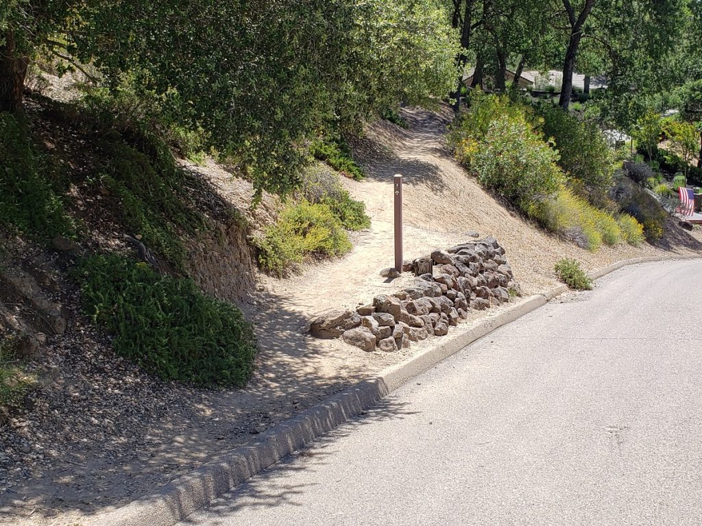
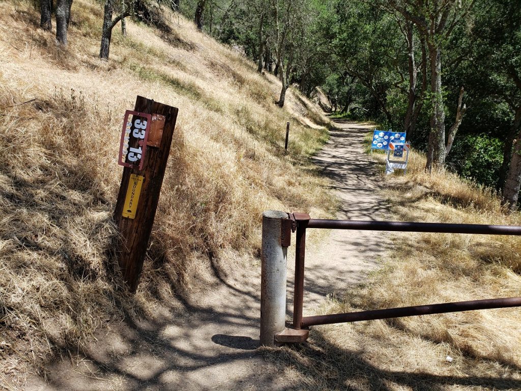
Dan Cook Canyon itself begins here at Fire Road marker 33-13 and very close to where the Lower Bridge Loop Trail meets Dan Cook.
Bridge Loop Trails or Summit Trail Connectors
Remember that the original State Park entrance was at a kiosk just beyond the arrow of curves on Mt. Diablo Scenic Blvd. This spot is now just marked with a sign.
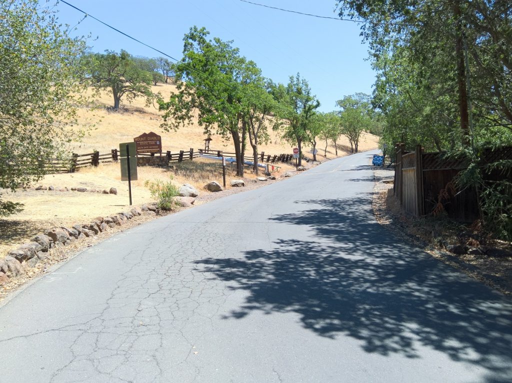
This parcel of land was added to the State Park in 1980 as part of the Blackhawk mitigation and represents the main way hikers and bikers cross over to Dan Cook Canyon.
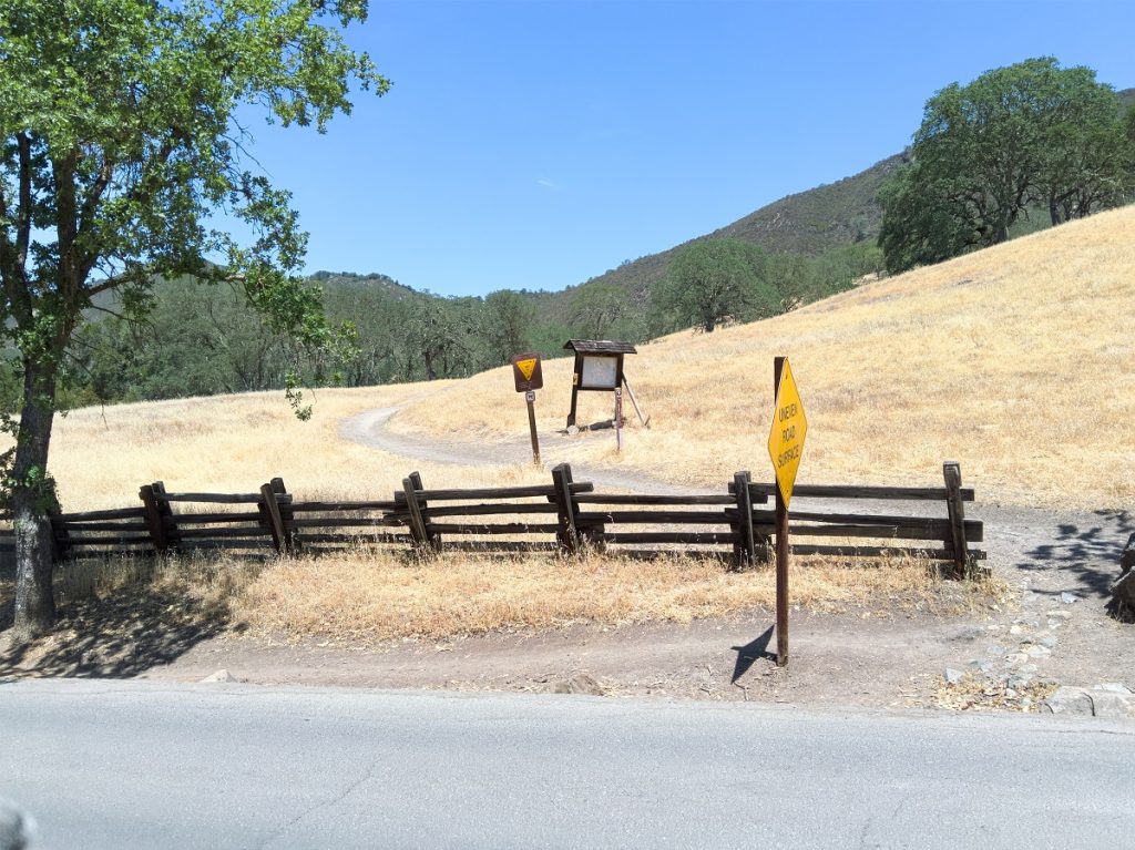
The combined trail begins as a well-marked single track that soon offers users a split, the left leading to the 1959 Riding and Hiking Trail easement. This route closely follows a number of rear lot lines for 5-acre Diablo Lakes houses. It is technical with frequent steep sections and ruts (Lower Bridge Loop). A right at the trail junction takes users onto the upper bridge loop or Summit trail. It is a meandering, beautiful trail to Dan Cook Canyon.
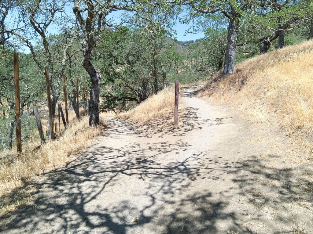
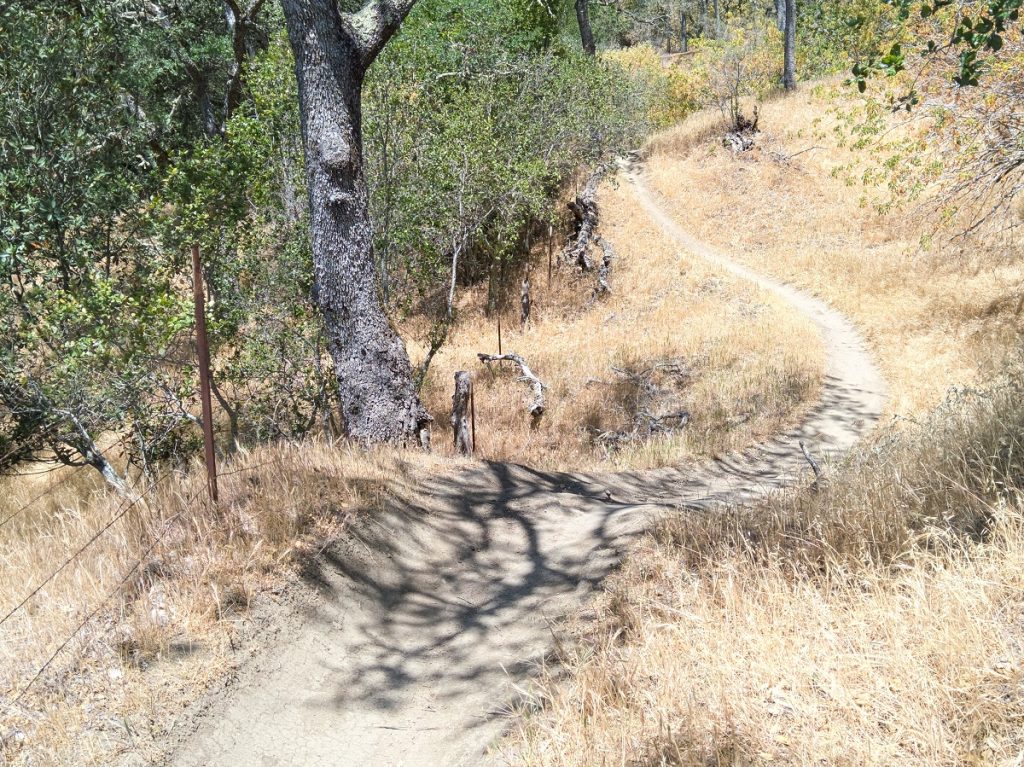
Just before a steep 20% grade leading the last stretch to Dan Cook Ranch Road you pass over this ancient bridge.
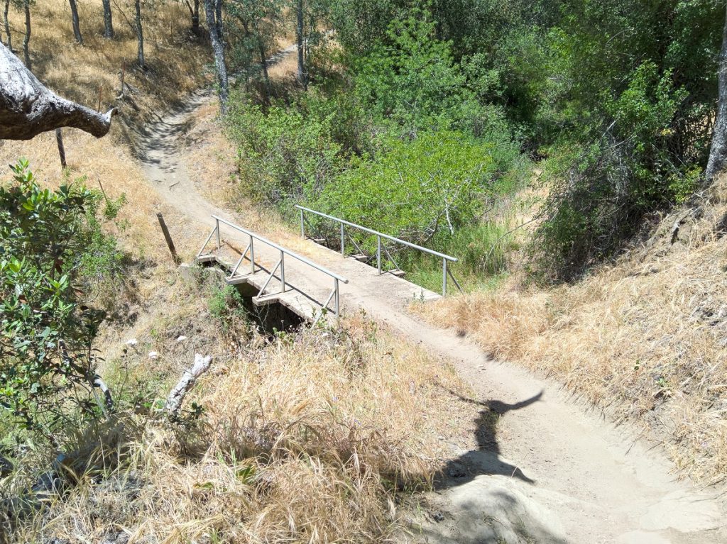
This lower bridge loop trail was an equestrian and hiker trail when created in the late 1950s and mountain bikers were not an active user group.
Upper Bridge Loop or Summit Trail
Once the 1980s rolled around and mountain bikers became an active and growing user group, the State Park created a new connector trail, what is now called Summit Connector or Upper Bridge Loop trail.
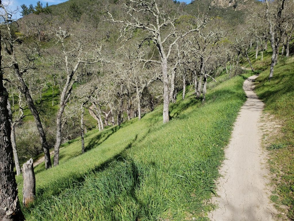
This upper bridge loop trail is by far the most popular mountain bike single track trail in the State Park. It is fun, easy going, and yet winding and a bit technical for less experienced riders. Most importantly it connects to Dan Cook Canyon Ranch Road which is the easiest climbing route up to Rock City.
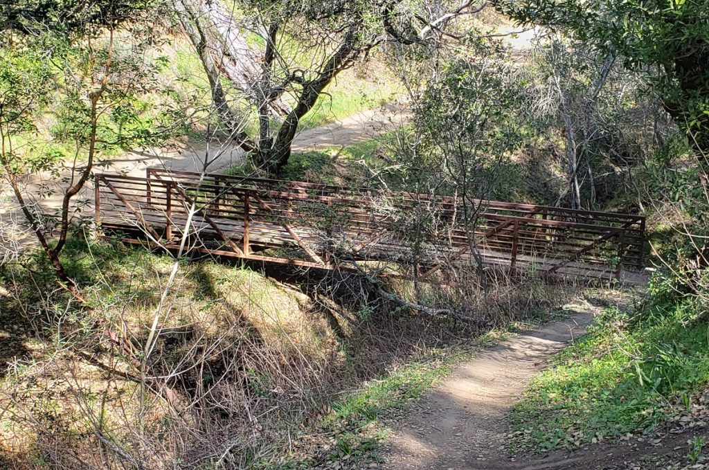
Dan Cook is 150 years old and amazingly is ridable most all year round, even in the wettest periods.
Well, there was that rock slide in 2017.
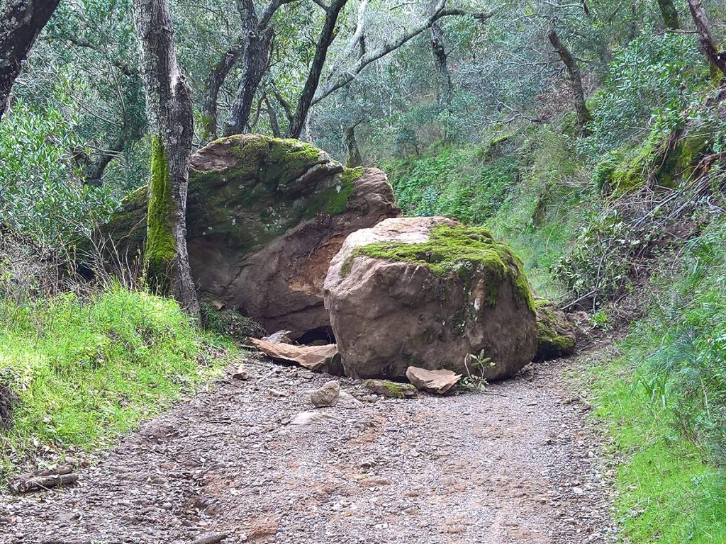
Mountain bike teams routinely time themselves on the climb from the upper bridge to the paved roadway at Live Oak Campground, just below Rock City. It is just a steady climb to test your lungs and muscles.
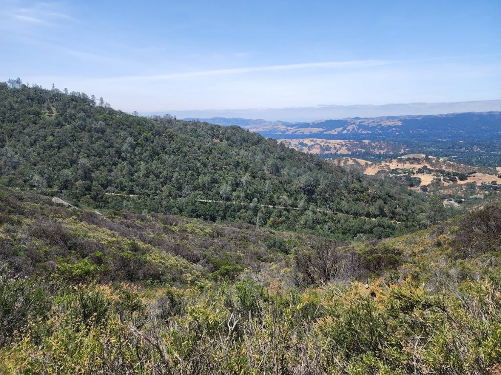
Diablo Comes Through to protect Park Access
Diablo as the Southern Gateway to Mount Diablo State Park has five non-vehicle points of access to the State Park. Three are from Alameda Diablo to Mt. Diablo Scenic Blvd. (the Athenian Gate, the 1979 Graveled Easement, and Kay’s Trail. The final two are the two EBRPD Green Valley trail easements from Diablo Lakes that access the State Park directly.
The public has every right to access these trailheads and connectors and we should all be proud of our County planners and our Park employees for all they have done protect public access to Mount Diablo.
More importantly we owe the people of Diablo a big thank you for maintaining such a beautiful community and supporting its position as the Southern Gateway to Mount Diablo.
1975 8-foot-wide trail Lease Agreement
1977 15-foot-wide trail Lease Agreement