MACEDO RANCH
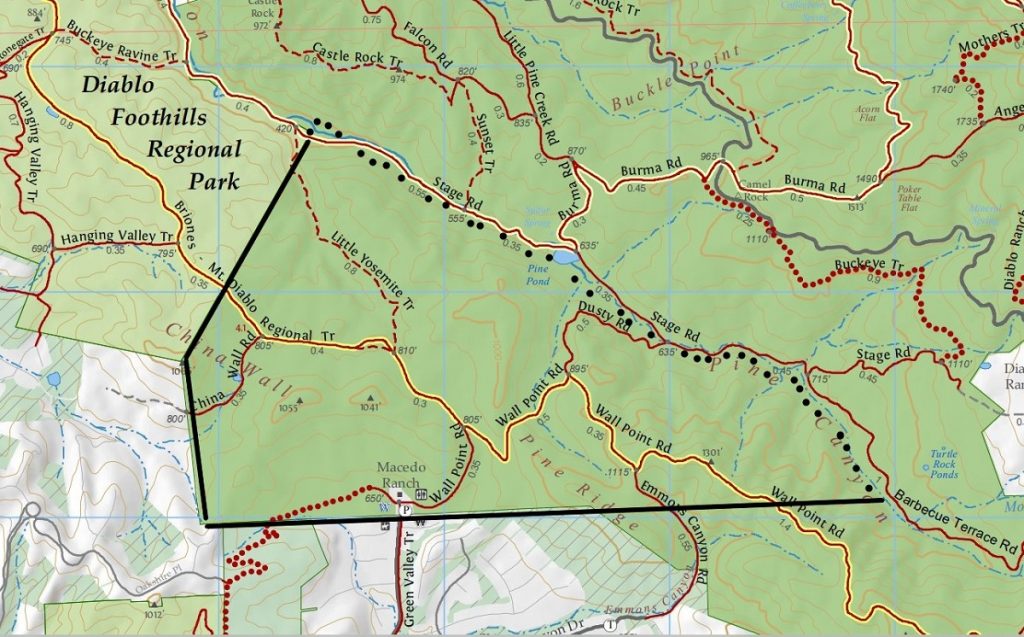
The name Macedo Ranch suggests that the State probably bought the land from the Macedo family. Well that would be only partially true as Macedo Ranch was the target of developers and was saved by the State Park purchase in 1977-1978. This is an interesting story and a critical connector within the State Park.
In all fairness to Frank Macedo and his wife they did purchase 824.74 acres in 1920 and ranched the land until 1960.
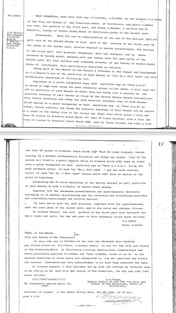
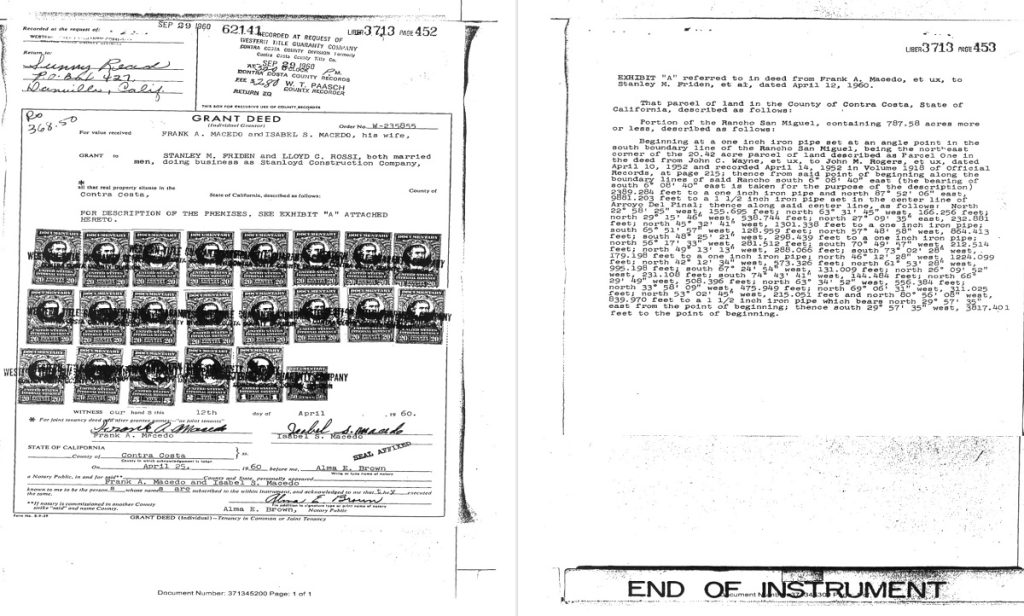
But then in 1960 Frank and Isabel sold the ranch to local developers Stanley M. Frieden and Lloyd C. Rossi, doing business as Stanloyd Construction Company.
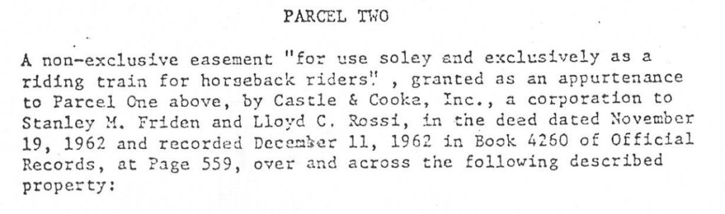
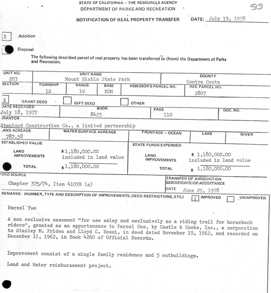
Stanloyd then negotiated and recorded an easement in 1962 linking this parcel to Castle & Cooke lands that would eventually become State Park property.
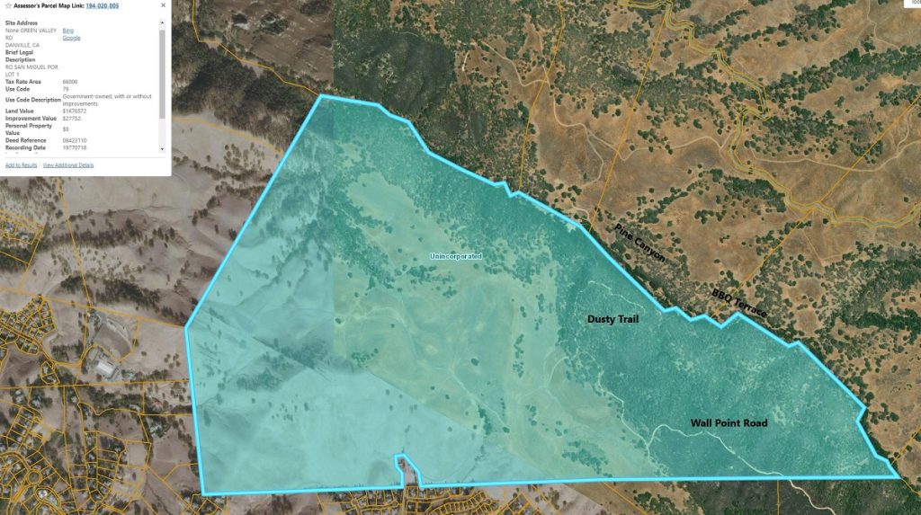
This property is a critical connector property in the area. It has a wide valley at the end of Green Valley Road where the current Staging Area is located (at the little carve out at the bottom of the map) and it serves as a key connector to Pine Canyon and Wall Point.
How does a development company actually develop a sensitive property? Well in the case of Macedo Ranch, not very effectively. The following paragraph is from a Real Estate Division of the State Parks in their role as due diligence for the eventual State Park (full report attached at end of this article).
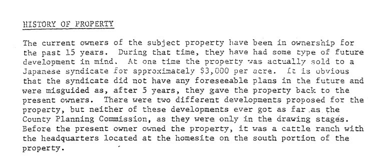
15 years during which development is happening all around them. The problem was mainly this: At that time, the County did not allow development above the 720-foot elevation and this Macedo Ranch had 707 of its 787 acres above this elevation. Furthermore, the Real Estate Division report continues: EBMUD at that time did not extend to this property. Sewer lines would just about be impossible, but the County would approve septic tanks on 5-acre parcels. Natural gas lines would be problematic so propane would be used. Hence the sale to the State Park.
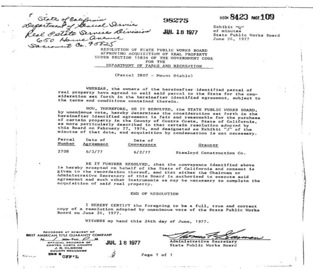
And the purchase itself
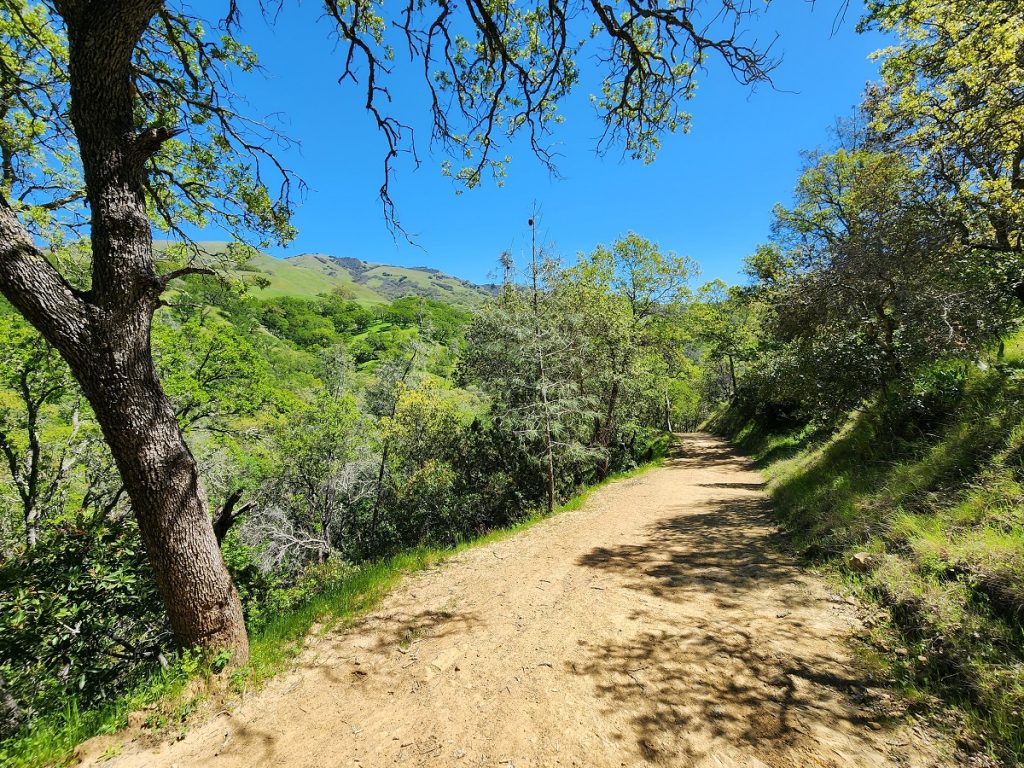
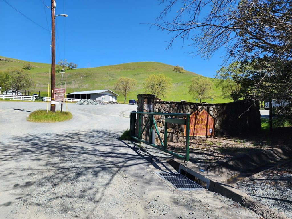
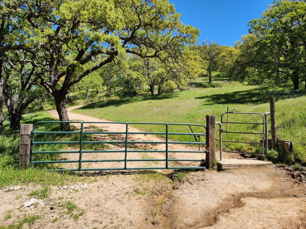
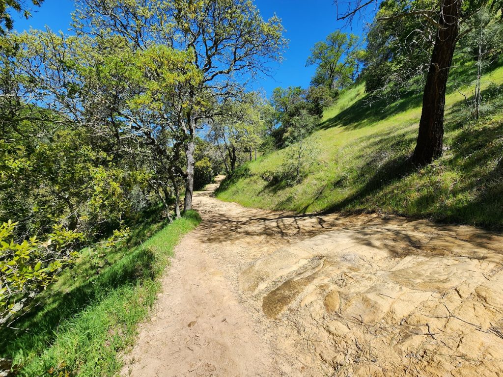
Trail users can learn something about the history of a trail by thinking about why a gate is present. Gates often represent locations where EBRPD land meets State Park land. In the case of the photo below, this is where upper Pine Canyon meets the Diablo Foothills Regional Park. Just beyond this gate is a picnic table area and the bottom of Little Yosemite trail.
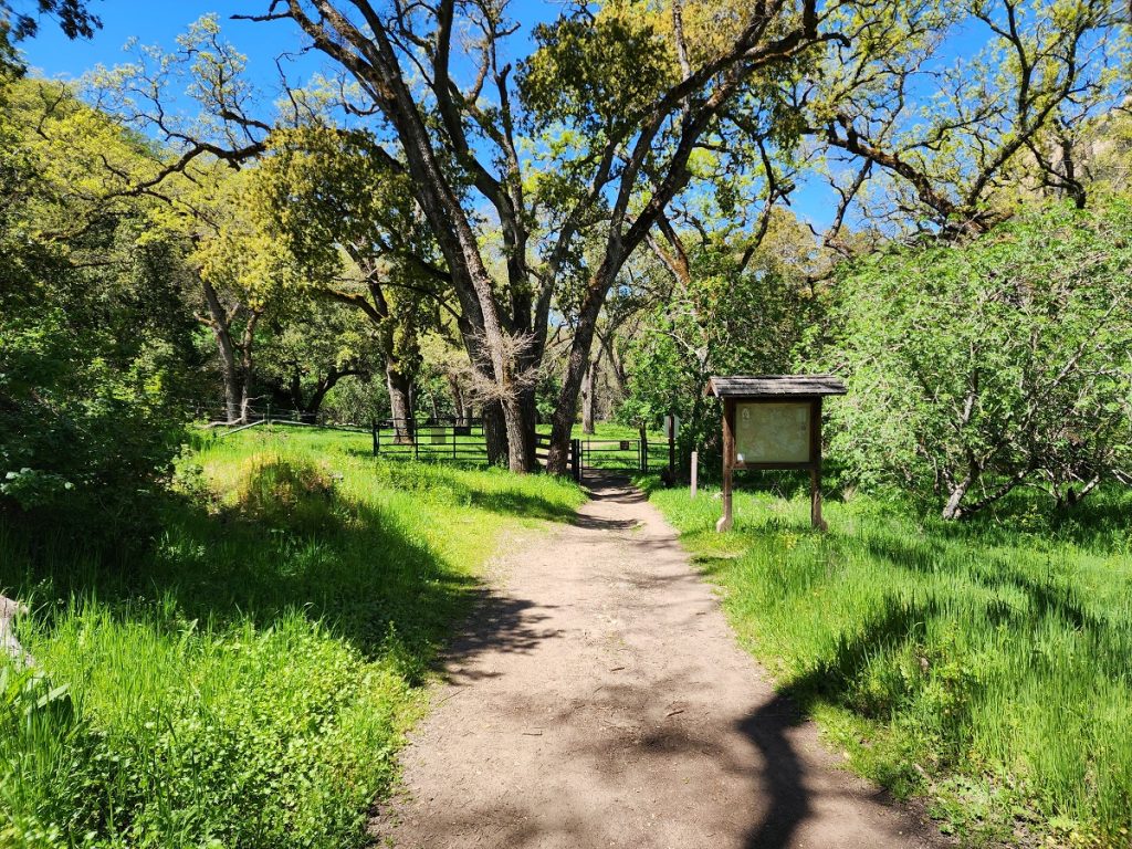
This location is near the corner of the original 787-acre Macedo Ranch and represented private property with no public access rights until the State Park opened the property in the 1980s. Imagine hiking or riding up Pine Canyon on EBRPD land and approaching this gate with a No Trespassing, Private Property sign. It was not until the 1980s that this significant stretch of the old Stage Road became public and accessible. Note also the long stretch of the Briones Mount Diablo Regional Trail that became viable after this Macedo Ranch purchase.