FRYER TO KERLEY
Pine Canyon Dams and Reservoirs
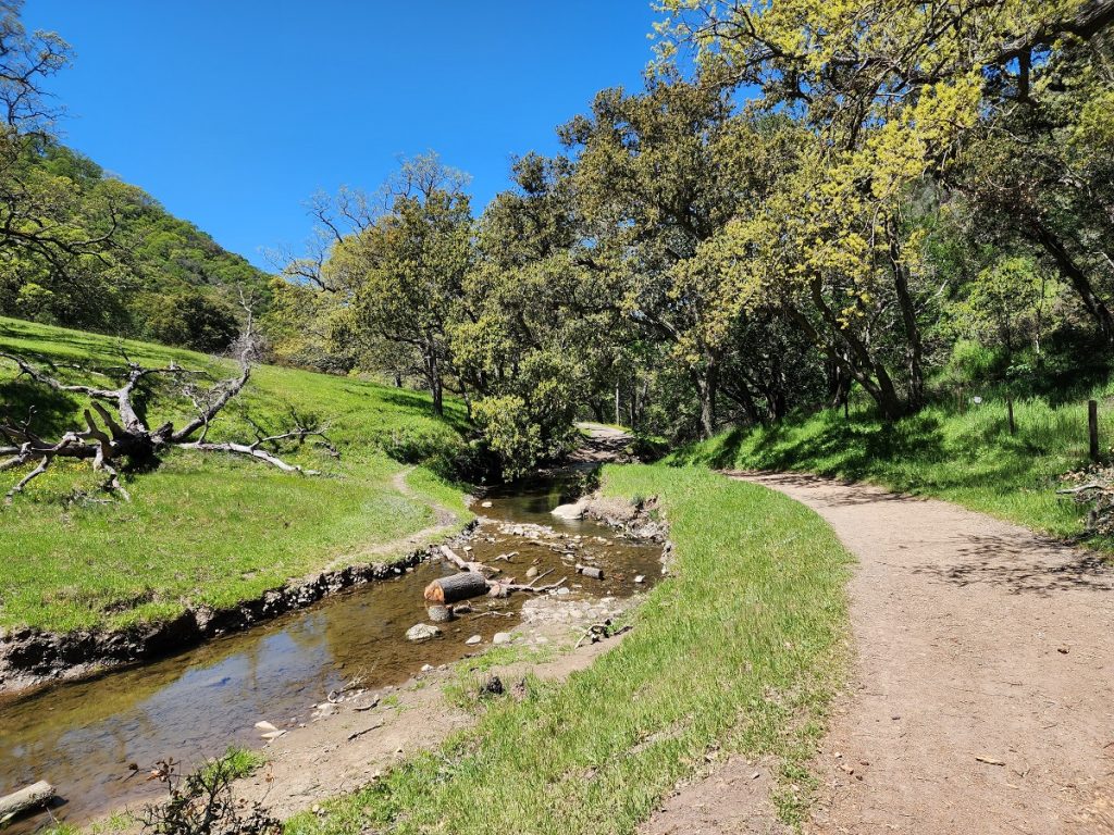
Little Pine Creek and Pine Canyon had always been a source of water for local ranchers but in 1906 an attempt was made to collect and export water to the local growing communities.
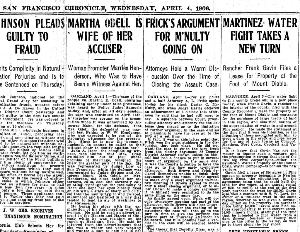
Far right column April 4, 1906 states Frank Gavin filed for the rights to erect a dam and pipe water out of Pine Canyon for use in Concord, Martinez, Port Costa etc. In a previous 1894 map the owners of this stretch of land were Knox and Levy (and Walker). But as was the reality in those days, these big land holdings changed hands frequently and by 1908 when there is a reference to a reservoir at what we call Pine Pond today, the owners of the lands were now McNear, Ford, and Knox.
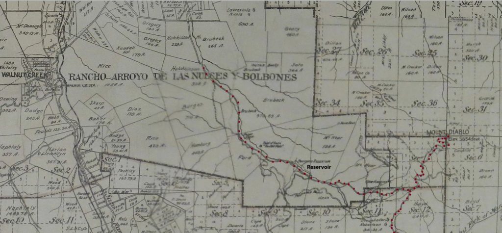
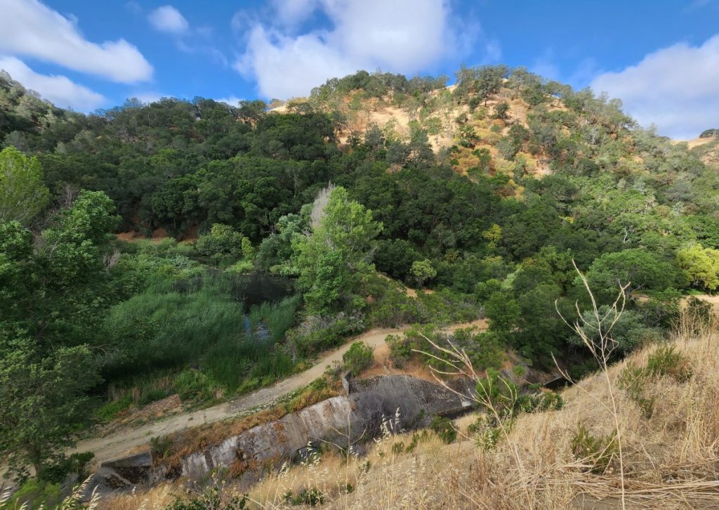
Remants of this original upper dam and civil works for pipe diversion are still clearly visible at Pine Pond today.
Not Larry Curtola Again
Larry Curtola was a man who understood the need for and value of water. When he purchased the Diablo Country Club in 1948 he was also on the hunt for additional sources of water for the golf course community. He approached Charles Fryer, the then owner of Pine Canyon lands, made a deal to buy the lands (over 2,000 acres in total), and went about collecting and pumping water up and over the hills to Diablo.
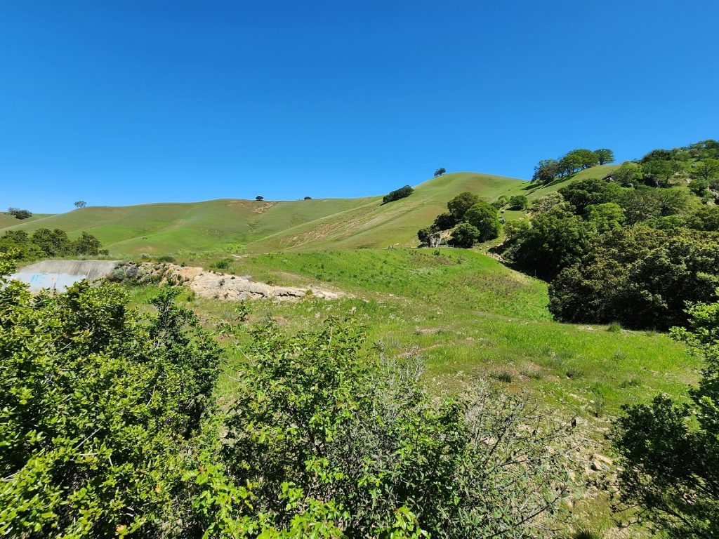
This required updating water infrastructure including the addition of a lower dam within the canyon. This was only a short-term fix for Diablo water problems as Curtola was sued by other local landowners in 1953 over how water was being collected and distributed and Curtola was forced to bow out of the fight. Diablo would get hooked up to EBMUD in 1960.
Ford Lands
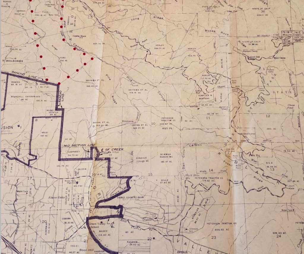
We can’t forget the Ford Parcels, eventually bought by EBRPD in 1985 and becoming much of the lower Pine Canyon/Castle Rock area. This was critical access property and EBRPD incorporated much of this into the new and evolving Diablo Foothills Regional Park. Ford is listed in the 1971 San Ramon Valley Map below. Note also the Borges (Walnut Creek Open Space) and Bogue properties to the far left top of the map. Bogue Ranch would contribute 259 additional acres to Diablo Foothills in 1988 when the Stonegate development was approved.
Angel Kerley Era
Angel Kerley was quite the character. She was known to drive a big white Cadillac, host ladies’ lunches where she drank Coca Cola, and hold equestrian BBQs on her vast acreage in upper Pine Canyon near the Junction.
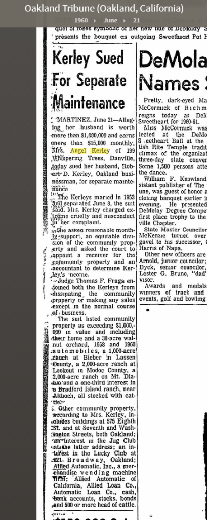
In the historical perspective of Mount Diablo ranch owners and interesting characters, Angel Kerley is a relative newcomer. This article in the Oakland Tribune commenting on the divorce proceedings between Robert and Angel, we get a glimpse into how the wealthy loved their expansive ranches.
Kerley Landholdings
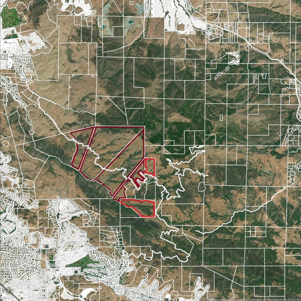
Are you getting the idea here? Back in 1908 some or much of this land was McNear land. Then in the 1938 map this shows mainly as Fryer land. In 1894 it was Walker and Levy land. Wealthy ranchers or developers traded these large parcels always hoping to monetize the property whatever way possible.
What is so cool about Angel and her relationship with the State Park was that she recognized the value of partnering with the State Park and the first two parcels she sold in 1965 to the state (shown in lighter red), being 95.42 acres and 162.08 acres. The remaining parcels as shown in dark red were all recorded in 1980 and were 345.89 acres, 586.7 acres, 416.7 acres, and 237.71 acres totaling 1587 exactly.
Kerley/Brumleve Private Inholdings
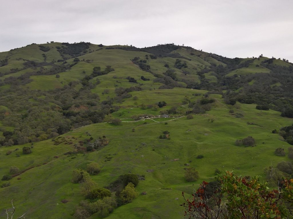
Switching to the most amazing map of the State Park and surrounding open spaces, I have cut out a section of the famous Save Mt. Diablo Trail Map. This is the best way for us to see the Private Inholdings of Turtle Rock Ranch and Diablo Ranch. These remain private, subject to a complicated agreement with the State Parks so remember these are private property.
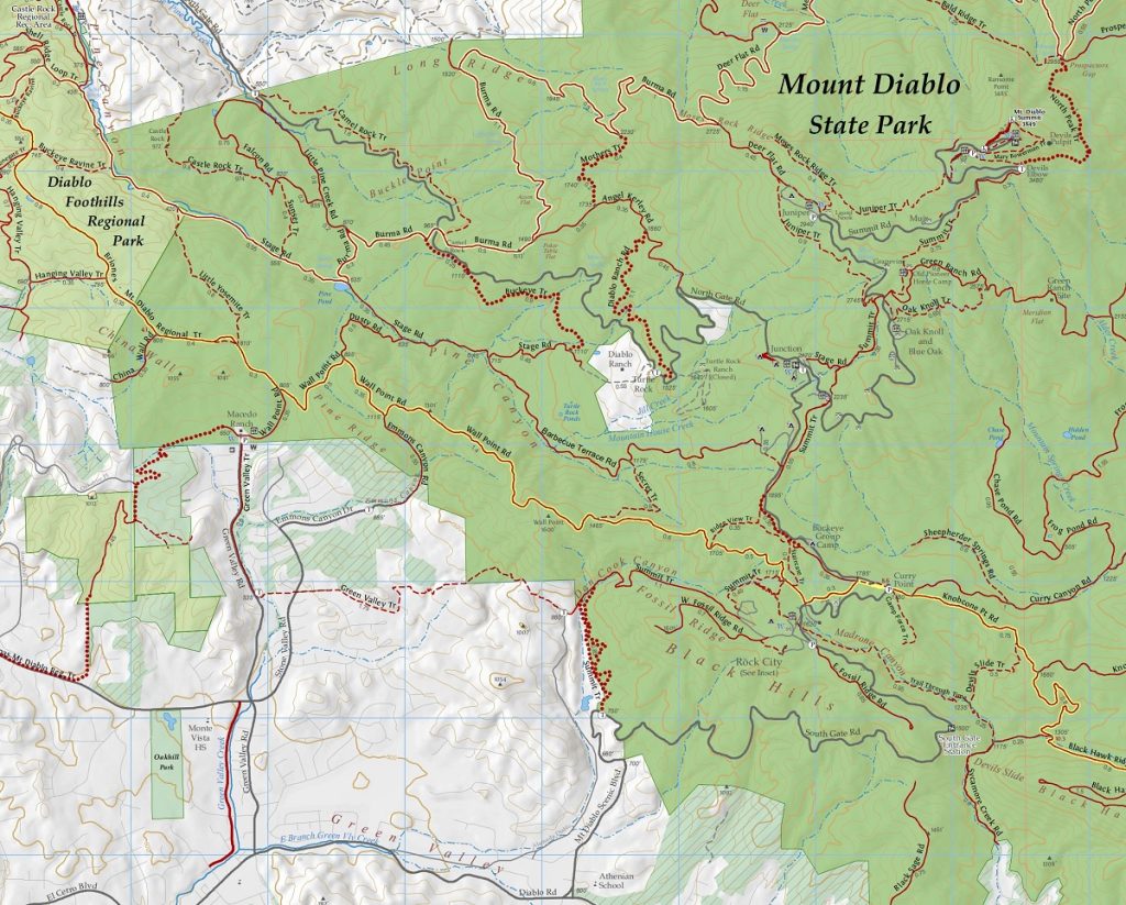
As a quick tour, the white areas are private. Diablo and Cameo Acres border the Park on the lower side and Ginochio ranchland at the top. The Mt. Diablo Scenic Blvd is shown in dark grey but the real story are the trails. Highlighted in yellow is the Briones Mount Diablo Regional Cross Country Trail starting off the map in Shell Ridge (Walnut Creek) and crossing Diablo Foothills to Wall Point and then to Knobcone and Blackhawk Ridge.
That connector trail would not have been possible without the Macedo Ranch and Kerley purchases. BBQ Terrace, Pine Canyon, and Diablo Ranch Road all required the Macedo and Kerley purchases.
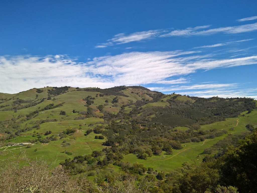
The State Parks deserve a great big thank you for strategically piecing together these large holdings to create a public trail system for access to these incredible ridgelines and valleys.
Downloads Below
1951 Paraiso Agreement Curtola